Geography at Cotsford
At Cotsford Primary School it is our intent that through the teaching of Geography we will broaden our children’s horizons. This year, we are following the units of work from Durham County alongside the Cornerstones projects. After reviewing our curriculum, we are now focussing providing our children with the knowledge and skills required for them to develop a secure knowledge of the world around them. This is started in EYFS where the children focus on their immediate environment. It then progresses into Key Stage One where the children start to look into their own locality and the UK. By Key Stage Two, the children will be focusing on Europe and the wider world, and because our children need to develop their understanding of the world we are going to plan appropriate trips and experiences in order to foster a respect and tolerance of the world and the people in it.

Please click on the link for Geography National Curriculum Information
Summer 2
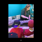
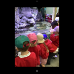
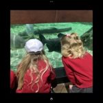
In Geography this half-term, Reception had a fantastic visit to the Sea Life Centre in Tynemouth and they talked about their experience. They looked at the different habitats on the beach and what they might find at the seashore. The children now know some animals prefer to live in rockpools, sand, cliffs or the sea. They explored how to take care of our beaches and how litter can make lots of our sea creatures very poorly.
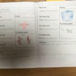
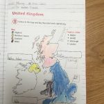
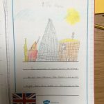
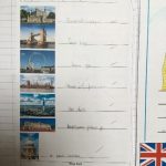
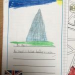
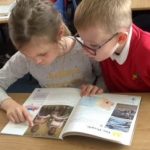
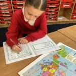
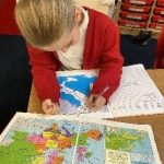
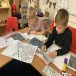
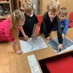
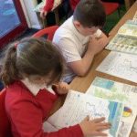
While in Year 1, the children have been learning about the United Kingdom and the four countries that make it up. They have learnt about physical and human features of the UK, found these on the map in an atlas and placed these on a map of the UK. The children also learnt about capital cities in the UK, placed these on a map and looked at the landmarks seen in each. They then looked specifically at London and the landmarks that can be seen there, choosing their favourites to visit if they travelled to London.
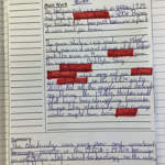
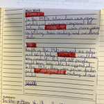
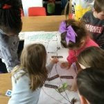
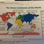
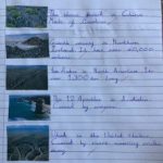
Year 2 have loved exploring Saltburn by the Sea and Kenya. They began by recapping on the continents, oceans, compass directions and the equator. The children enjoyed finding out about a mystery place and used all their geographical skills to identity Saltburn. The children explored human and physical features and drew these on a map with a key. The children linked their English information writing by writing about the importance of protecting the Maasai Mara.
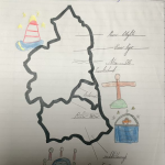
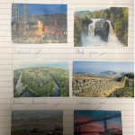
Year 3 have been focussing on the North East and what it has to offer. They can now identify the North East of England on a map of the UK and can label some of the main cities and landmarks. The children used atlases to help them identify some rivers of the North East and can draw these on a map.
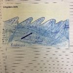
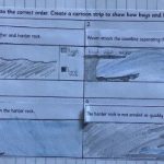
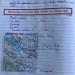
Year 4 have developed their knowledge of physical processes that shape our land. They have looked briefly at a river’s journey to the sea, then they took a closer look at what happens at the coast. The children have learned about the features that they may find at the coast and also which processes help to shape it. They found that coastal erosion has a huge impact on the people living close to the sea and they have researched into some of the ways that we are trying to protect our coastline.
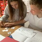
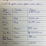
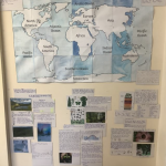
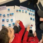
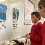
Where does food come from? That’s the question that Year 5 have been investigating this half term. They have used maps and food packaging to find the origin of different types of food. As you can see in the pictures below, they created bar charts to show which country the UK gets its food from in terms of trade and imports. The children enjoyed creating their own burger and thinking about the journey each food type had been on in order to get to their plate and how many people have been involved. Finally, the children took part in a debate and what we could do to reduce food waste. As part of our retrieval activities this half term, the children worked with a partner to match map symbols to their meanings, and they thoroughly enjoyed taking part in an end of year Geography quiz.
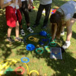
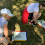
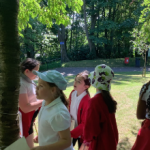
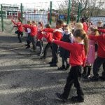
Year 5 and 6 had a fantastic and very warm trip to Wharton Park in Durham. They loved the workshops they took part in to practise map reading and to develop their orienteering skills.
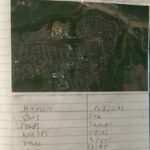
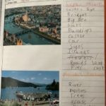
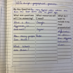
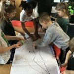
Year 6 were also able to complete their own geographical investigation. This allowed the class to use all of their skills to answer a question they had relating to Horden. Some chose to compare it to another small town in another country, some compared it to a large city in our local area and others looked at how Horden changed over time. They were able to use many different sources and resources to gather the information, including visiting Durham and comparing it to Horden, Google maps, physical maps and atlases, photographs and census information. By working in pairs, they produced mini displays to show off all the information they collected.
Summer 1
This half-term Reception looked at world maps and looked at where different animals live. They talked about camels and geckos liking hot, sandy places like the desert. That’s very different to where we live!
Spring 2
This half term, Reception have been busy planting and getting lots of seedlings ready. The children explored how to look after them and they have also set up an experiment to test if they always need light, soil and water.
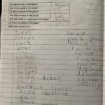
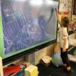
Year 1 have looked at what they can find in the local area, ‘Our Corner of the World’ and in the North East. The children used aerial photographs to look at the local area and identified human and physical features in the locality. They made simple maps of the area, used basic symbols for landmarks and used simple compass directions, locational and directional language to describe the location of features and routes on the map. The children also identified the human geography features that they could find on one street and used this information to create a tally chart.
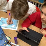
The children in Year 2 have worked really hard to consolidate their knowledge on continents and oceans and can now name them. They recognise North, South, East and West and can describe where places are. The children had so much fun researching places near the equator in groups. Some used atlases, others used globes whilst the rest used iPads. Collectively they produced places of interest on the equator, continents, oceans, climate and other interesting facts. The children explored the Halley VI and then planned a route to get there from Horden. It was lovely to see a range of ways i.e. ship, aeroplane and ship. This also included the places they would pass and the temperature changes as they moved closer to the equator and then further away.
Big lights, Big Cities! Year 3’s geography topic has taught them to understand the differences between rural and urban areas. They have used atlases to locate countries and cities of the UK and have looked at some major cities around the world. The children also deepened their understanding of how cities are developed and know that they are built up in certain ways for their good transport links and trade purposes.
Year 4 started learning some key facts about Italy including; it’s position in the world, the continent and seas around it, the climates and significant landmarks. They looked at the human and physical features using atlases, maps, google earth and photographs. When looking at Italy’s capital city Rome, the children decided they would most like to visit the colosseum, as well as go pizza and ice-cream tasting! They then focussed on why and how we have volcanoes in different parts of the world, including Mount Vesuvius and Mount Etna.
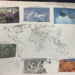
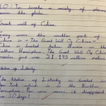
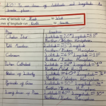
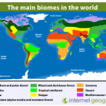
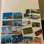
Where could we go? This question really sparked Year 5’s curiosity about some of the fantastic places around the planet. The children loved the challenge of trying to name and locate a wide range of fantastic places just by looking at an image. They then described the location in terms of continent, country and hemisphere. The new learning in this unit, involved latitude and longitude and how this effects time zones around the world. Finally, the children examined the different biomes of the world and their key features.
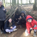
Geography was really fascinating for Year 6 this term. They learned about different types of forests from around the world, including cloud forests and thorn forests! The children then learned how the type of forest depends on the climate they are found in (linking to their work in Science from earlier in the year about adaptations) and how amazingly important trees are for all life on Earth. When they went on their residential to Dukeshouse Wood, they got to build shelters with branches from trees and their knowledge helped them to identify some of the different types of tree. Year 6 finished by investigating different reasons for deforestation and writing persuasive article to make the deforestation stop.
Spring 1
This half term, Reception have started to look at some geographical features of the land when reading the story of the Three Billy Goats Gruff. The children were able to name lots of things they see every day but don’t always notice including grass, a river, the sea and a bridge!
As you can see in the pictures below, Reception also had a fantastic time exploring Chinese New Year. They made dragons, created silhouette paintings for the Year of the Rabbit and even tasted some Chinese food.
Autumn 2
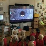
This half term, Reception have been thinking about what happens when we go to sleep. The children sorted night and daytime photographs and talked about the similarities and differences between them. They discovered that some animals are nocturnal, and are awake when we are sleeping. As you can see in the pictures below, they also watched night-time footage of nocturnal animals and spotted the special features owls have to be able to see and hunt in the dark. The children used their senses to smell some nice and not so nice smells!
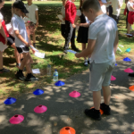
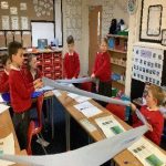
The children in Year 1 have worked incredibly hard in Geography. They began by looking at where we are in the world, locating Horden and our school using Google Earth. This was really exciting, especially when they located some of their houses using directional language. The children then looked at aerial photographs and quickly spotted our school grounds and other familiar places. Fieldwork was a big part of their learning, and they used it to ask and answer lots of geographical questions about our locality. They created and followed their own maps, and were able to identify human and physical features within the school grounds and further afield. Finally, using cones and skipping ropes, the children made an outline of the United Kingdom and labelled the four countries using atlases.
Year 2 have found learning about the world interesting! They have learned the names of the continents and oceans. They enjoyed using atlases, globes and online maps to help them explore Earth. From this, they looked at human and physical features around the world and sorted the pictures accordingly. The children used the internet to research each continent as a group, identifying the seasons, weather and temperature. Finally, the children chose a continent they would like to visit and listed a range of human and physical features they might see.
Flow was the name of Year 3’s topic this half term and they have loved learning about the different parts of the UK and its many physical features. The children used atlases to locate rivers and mountains and they now understand the symbols that explain the different types of landscapes.
The children in Year 4 have been extremely busy in Geography this half term, focussing on the continent of Europe. They have learnt lots of new geographical vocabulary linked to rivers and mountains, as well as the human and physical features of Europe. The children have developed some fantastic map reading skills, including; how to read climate graphs, atlases and use satellite images to gather information.
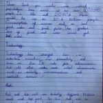
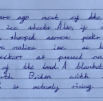
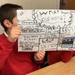
While in Year 5, this half term’s topic has fuelled the children’s curiosity about the shape of the earth beneath their feet. They have used dramatic landscape features to prompt questions and investigate the shape of the land. The children have enjoyed finding out about their living, ever changing world and thinking about how human activity is changing the shape of the land in new ways. They have used large maps of the world and OS maps of different places in the UK. Year 5 have also examined the role of climate in shaping our world and included how ice has changed the UK over thousands of years. The children liked finishing the unit with a ‘brain dump’ which you can see in the pictures below.
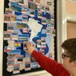
In Geography this half term, Year 6 have been studying South America. It has been fascinating to look at the whole continent. They started by identifying the different countries, capitals, bodies of water and placement in the world. Next, the children started looking at a range of human and physical features of the continent, before focusing on the city of Sao Paulo in Brazil. The children were able to compare the city with Durham and were amazed by the difference in scale and population in the two cities.
Autumn 1
The children in Reception have explored the natural world around them during their exploration in outdoor learning. They have looked for lots of signs of autumn noticing all the different colours of the leaves. Wow, there were so many! Reception have even planted some seeds and daffodil bulbs too. They can’t wait to see them bloom next year! As part of their work on European Language Day, the children looked at the country of Ukraine. They dressed up in the colours of the flag and listened to the Eurovision winning song! It has some lovely buildings too and is known as the ‘bread basket’ of Europe. It is very famous for its sunflowers!
