Archived Geography Curriculum Content 2019-2020
Spring 1
In Early Years this term the children explored China and compared it with England (regarding size, food, schooling etc). Year 2 children turned into ‘Street Detectives’ looking at Horden on a map then taking a walk in the vicinity of the school. They completed a map of the school yard including a key for all the features. They listed human and physical features of our landscape and created a tally chart. They completed a map of Horden Park and created their own key.
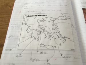
Year 3 pupils used maps to locate Greece and important places and events from Ancient Greece. They finished their topic by looking at Greece today and describing the physical geography, including; climate zones, rivers and mountains.
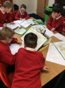 In Year 4 the children used maps to locate different areas in England that had been settlements in Anglo-Saxon times and learned where the Vikings came from.
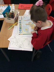
Our Year 5 children used map skills to locate Egypt and looked at some of the human and physical features. They located the River Nile and discussed some of its uses.
As part of ‘A Child’s War’ topic in Year 6 the children compared evacuation locations with the major cities targeted by the German air raids. They suggested reasons why some areas of the country were more likely to be bombed and identified enemy hotspots on a UK map.
Autumn 2
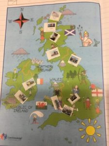
In geography this half term, map work has been a focus in year groups. Year 2 have been looking at castles, as part of their topic, and have plotted UK castles on a map. They have also looked at the topography around castles and why their position is important.
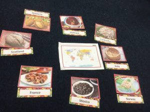
Year 3 have located where different food comes from around the world. They have also enjoyed following the journey of a banana from Costa Rica to our shops.
Year 5 have plotted routed on a map of Alchemy Island and then identified the human and physical features. They have also been learning about coordinates and have had a go at using 4 and 6 figure grid references, to locate landmarks.
Year 6 have focused on Mexico, as part of their topic. They have located the country on a world map, discussed types of settlements, land use and also compared life in Mexico to life in the UK.
Autumn 1
In geography this half term, Year 3 have used maps to identify where certain animals are found and have investigated why. They also have drawn a bird’s eye view of their local landscape. They then used a grid and key to identify human and physical features.
In Year 5, the children have used fieldwork skills to explore the types of minibeasts around school. They then used a map to plot where these minibeasts were found. The children have also located deadly minibeasts around the world, using their research skills.
