Geography at Cotsford
At Cotsford Primary School, we shape our geography curriculum to ensure the children develop a secure knowledge of the world around them. We intend to inspire children’s curiosity and interest to explore the world that we live in and its people. Through the teaching of geography, we provoke thought and questions, while encouraging the children to discover and explore the answers.
Summer 2
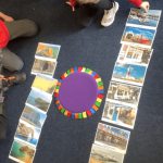
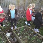
This term our Reception children have explored some of our local area. They thought about things they see every day while walking to school, that are part of our world. These include the beach, the church, the shops and our school.
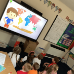
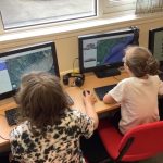
Year 1 children have loved using Google Earth to explore the world – looking at continents, human and physical features, compass directions and locating the UK. A big hit this half term was the 7 Continents Song, which definitely got stuck in our heads a few times!
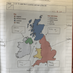
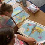
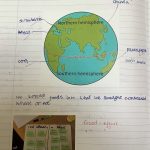
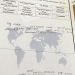
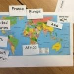
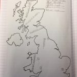
Year 2 and 3 have worked very hard to secure their Geographical knowledge by using world maps and globes to identify the UK, the seven continents and the five oceans of the world. They particularly focussed on the UK and the children enjoyed discovering some facts about each country and sorting the different human and physical features that they may find. They used this to begin to compare life in our country and life in Kenya. Here are some of Year 2/3’s favourite songs about continents and oceans:
https://www.youtube.com/watch?v=vfv7TF9RHbY.
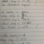
The children in Year 3 have been fascinated with the world and understanding how the continents and oceans differ. They enjoyed using the iPad’s to research many areas of the world, especially the places they had never heard of. They also used satellite images and atlases to carry out research. The children discussed arrange of climates and used their previous knowledge of places to discuss climate. This led to a lesson exploring the equator and the importance of places positions in the world compared to their weather. They were challenged to find a hot, cold and an average place in the world and research their temperature and climate.
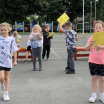
The most fun lesson, was when the children recapped on the compass points and directions. They began by creating a compass and watching how a real compass works because of the magnetic earth. Then they challenged each other to find different parts of the school using directions and compass points vocabulary. At first there were children moving in all directions until they found their bearings.
Year 4 have enjoyed learning about the continents of the world this half term. They also practised learning the names of the world’s oceans and enjoyed using atlases to investigate more about the world.
Year 5 linked their topic directly linked to our cookery lessons. The children really enjoyed finding out about where their food comes from and looking at the journey that their food takes to get to our forks.
Year 6 have developed their knowledge of our country and the wider world. They have been learning about continents and oceans and can name them. The children can name the countries that make up the UK, the surrounding seas and some capital cities.
Spring 2 – Remote Learning and return to school
Reception have loved exploring their local area through Lockdown walks, this half term. The children were able to enjoy all of the snow we have had! The children have also looked at maps and images of landmarks – very handy when out exploring!
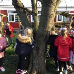
The Year 1 children have been out exploring their local area on Lockdown walks. They have looked at landmarks and the human and physical features around them. The children have also enjoyed looking at the UK, in comparison to our big wide world!
Year 2 took a virtual trip to Brazil, this half term. They looked at the famous carnival and how their glorious weather compares to ours!
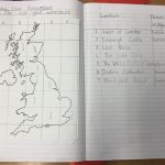
The children in Year 3 have been exploring cities in the UK. They began by identifying the main cities on a map and identified the cities near to where we live . They then compared the city of Durham, to London.
Year 4 rocks! In year 4 this half term, the children have been looking at rocks and answering the question: ‘Why does Italy shake and roar?’ When they returned to school, the children researched volcanoes and created a fact file on Purple Mash.
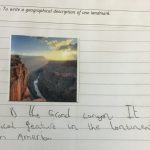
In Year 5 children started learning about what effects the world they live in. They investigated famous landmarks, climate and populations of different places. The children learnt about the difference between physical and human geographical features and were incredibly shocked at the amount of features on their doorstep!
Year 6 have been world travellers this half term. They have revisited the continents of the world and identified our wonderful rainforests. They have a better understanding of differing climates across the globe and can explain why certain animals are suited to their climates
Autumn 2
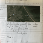
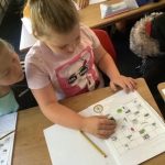
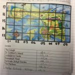
In Year 1, the children were amazed when exploring Google Earth. They zoomed in and looked at where the UK is, and compared it to other parts of the world. Then the children zoomed in even further to find where Horden is. The children also used maps and orienteering skills, to identify physical and human features in the areas around school. They also completed a tally chart.
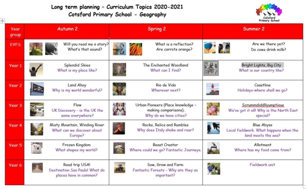
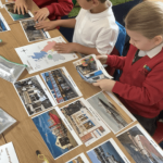
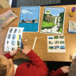
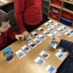
Year 2 and 3 children have been exploring the question: Why is my world wonderful? They started by watching the fascinating David Attenborough mini film ‘It’s a wonderful world’ and exploring some of the different features that they could see including; land, sea, ocean, wildlife, ice, volcano, mountain, rivers, forest and coast. They then learned the 7 continents and 5 oceans of the world and compared some areas using photographs
Year 3 children became UK explorers. They began by locating different places in the world using a globe and atlas – the children were amazed when they discovered how small the UK was compared to other countries! The children explored the UK’s beautiful mountains and rivers. The children enjoyed exploring the coast line of the UK and Holy Island.
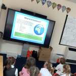
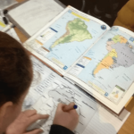
Year 4 have been exploring the topic ‘What can we discover about Europe?’ They have used atlases and world maps to identify different countries of Europe and define the term ‘continent’ correctly. The children also explored physical and human features of their local environment and explored different climates and biomes around the world.
Year 5 children have investigated what has an effect on the shape of the Earth. They have investigated interesting topics such as deforestation and mining, ice and erosion, and have realised that these can change the shape of our land. They have looked in depth at how ice can change the land by pushing against it to create slopes and bodies of water. They have also investigated how tectonic plates shape the land, by moving against or away from each other and what those tectonic plates can result in.
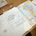
Year 6 have loved exploring the world around them. They have researched both North and South America and produced fact-files about some amazing American states. They have looked at similarities and differences between parts of America and the UK. They have identified human and physical features of parts of America and have planned their own journey across the states using the iconic Route 66 – wishing we could all go!
Please click the link for Geography National Curriculum Information
Archived Curriculum Content
View previous Geography Curriculum Content on our website.
Adobe Reader
You may need a product like Adobe Reader (free download) to view our PDF documents on our website.
